Apps for EV charging only help while you still have miles left to spend. On High Desert runs toward Victorville or Adelanto, a stale pin burns remaining range. The return from Lake Arrowhead, Crestline, or Big Bear does the same. Check the maps before you commit to the Cajon climb. Don’t wait until the percentage hits zero.
Remaining range is the real map
The Inland Empire isn’t one kind of driving day. A Fontana warehouse lot isn’t the I-15 climb toward Victorville. A Temecula errand isn’t the drop from Running Springs. Heat, grade, and cabin cooling change what your remaining percent can actually cover. An app that only plots plugs doesn’t know your pack on that grade.
That’s why trusting a pin alone fails here. The listing can be real and still leave you short. You already spent range getting to that stall. The stall was occupied, offline, or wouldn’t start a session. Now you need another plan with less pack than you had.
Don’t treat a national map’s default zoom as local truth. For roads and cities in this market, start with the Inland Empire EV charging hub. Use that hub for local context, not a national default. Then verify the stall you actually intend to use.
Start with the vehicle maker’s app
Open the app your car’s maker built for that vehicle. It talks to your pack, not a generic estimate. A third-party map usually doesn’t see that live state. That difference matters on a long inland climb. The estimate in your dash is the one you have to live with.
We won’t catalog every maker’s current feature list. Software updates move those screens from year to year. Your owner’s manual and the maker’s site are the current source. If you’re not sure the car has an app, check the manual. A dealer service desk can confirm it too.
The vehicle app is a starting plan, not a lock. It can suggest a stop along your route. It can’t confirm a given stall is free when you roll in. It also can’t prove that stall is working. Treat the suggestion as a route, then verify. Spend those miles only after you’ve checked the stall.
This matters more when the next miles are a grade. The Cajon climb toward Hesperia and Victorville spends range on the hill. If that climb already took the pack down, stop guessing from the map. Out of charge on I-15 at the Cajon is the next read for that shoulder. A Lake Arrowhead day trip spends range on the way up. You still need a working stall on the way home. A wrong suggestion costs remaining range you can’t buy back on the shoulder.
Cross-check the networks that own the stalls
Most public charging networks run their own app or site. Those tools are usually the closest view of that network’s own hardware. They can show which of their stations sit along your path. Some report whether the network itself lists a stall as available.
The limit is scope, and that scope is narrow. A network app only knows its own equipment. I-10 through Colton, Redlands, Calimesa, and Banning is a long inland run. So is I-215 through Moreno Valley and Perris. SR-60 through Jurupa Valley is another of those runs. Check more than one network before you spend the miles.
We’re not ranking those network apps in this guide. We won’t describe a feature list we can’t verify today. Coverage and reliability change with software and hardware. If you need current features, use that network’s own site. A blog post months later isn’t the source of truth.
For a broader inventory, use the DOE Alternative Fuels Data Center station locator. It’s drawn from reported infrastructure, not live stall status. It’s a government source, not a live availability feed. Use it to see what’s been reported, not what’s working tonight.
Treat crowd pins as yesterday’s note
A third category worth knowing is the aggregator map. It pulls several networks into one view. Some add driver notes about whether a plug worked last time. Those maps can surface options a single network app would hide.
A pin on a map isn’t a session. A station can be listed and still occupied or out of service. It can even be removed since the last update. A crowd note from last month is one driver’s visit. It’s not a report of tonight’s status. That isn’t a flaw in one branded app. It’s how any listing works when someone else owns the hardware.
High Desert miles and mountain returns punish that lag. You can’t sit on the shoulder refreshing until a pin turns green. If the percentage is already sliding, read what to do before you strand. Keep the apps open while you make the next call. Stop treating those pins as a live promise.
A listed site can be packed while the map still shows it. It can also be offline with the icon still on. The Lake Arrowhead downhill return is where a stale pin hurts most. The apps will still draw the icon on your map. They won’t wait in line for you.
What a charging pin can’t fix
Charging apps answer where a station has been reported. They don’t jump a dead 12-volt at the curb. They don’t force a pack that won’t accept a charge. They don’t start a stall that never initiates a session.
If you pull up and the cable won’t begin a charge, stop chasing pins. That’s a stall problem, not a map problem. Our guide on when a public charger isn’t working covers the checks worth trying first. Try those before you assume the whole trip is over.
Your phone can still open a charging app after a 12-volt death. The car still won’t roll to the pin the app is selling. A dark dash is often the 12-volt, not an empty traction pack. Charging maps don’t diagnose that split for you.
Utilities here aren’t one company across the two counties. Southern California Edison serves many Inland Empire cities. Riverside Public Utilities serves the city of Riverside. The City of Colton Electric Utility owns the system inside Colton. Bear Valley Electric Service serves Big Bear Lake and Big Bear City. Rancho Cucamonga and Moreno Valley each have a municipal pocket beside SCE. Those utilities set home rates and rebate pages. They don’t keep a public stall working for you on the shoulder.
Save a backup that doesn’t depend on any one map. Note a second stop on the same corridor before you leave. Know who to call if both listings fail.
Ontario airport lots have the same app problem in a different shape. Fontana warehouse rows do too after a long shift. You parked for a shift or a flight. The pack is lower than you thought when you return. The map still shows a stall on your phone. Whether that stall is free is a live question. The app may not answer it in time.
When more apps stop helping
Sometimes every app you open shows the same result. No stall they show is in reach of the range you still have. Checking another map doesn’t add miles to the pack. The question is no longer which app to trust. It’s how to get power to the car without driving farther.
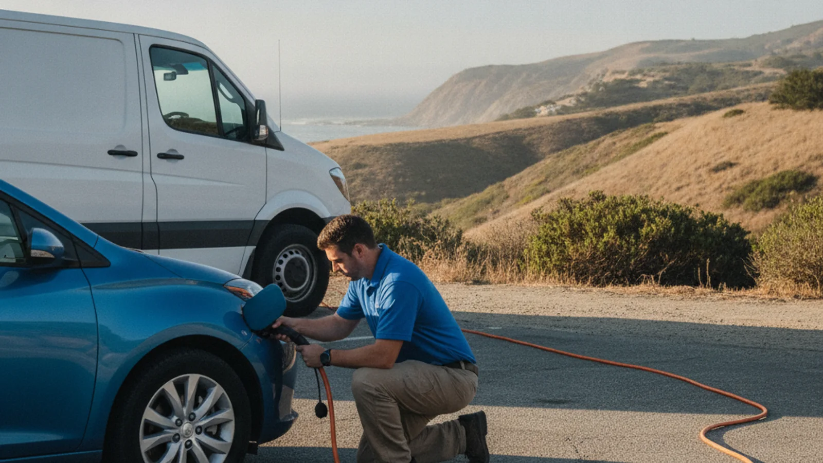
Mobile EV charging brings a 240-volt Level 2 source to a parked vehicle. The independent operators we connect you with typically add 10 to 20 miles of range. That takes 15 to 30 minutes of charging. That’s charging time, never an arrival time from the call. They bring a native NACS plug for Tesla. They also bring CCS or J1772 adapters for non-Tesla EVs. They can jump or replace a dead 12-volt on site.
If the pack is already at zero, ask about out-of-charge recovery. Charge Pro IE matches you with a local operator. We don’t own trucks, set prices, or perform the work. The operator quotes you before starting and bills you directly.
Don’t spend the last percent chasing a pin you can’t confirm. If every app has failed to turn up a working, reachable stall, planning is over. Call (909) 250-2881 and we’ll connect you with a local EV rescue operator.